 Transparence et GouvernanceNouveau
5 octobre 2026 · 9 min · Français
Explorez les élections marocaines par commune, province et région, avec des cartes SIG de 2015 à 2026, leur méthode et leurs limites.
🚀 Kharita Challenges est lancé — Relevez des défis SIG concrets, développez vos compétences, obtenez des certifications vérifiables et valorisez vos réalisations.
Découvrir Kharita ChallengesChargement…
Nous construisons la donnée là où elle manque, nous la documentons, et nous la transformons en analyses et en plateformes que vos équipes utilisent au quotidien.
Catalogue
Nos services
Au-delà du catalogue ouvert, nous accompagnons vos projets : acquisition et vente de données, analyse spatiale, plateformes web SIG, imagerie et GeoAI.
Superposez les découpages, les équipements et vos régions d'intérêt sur une carte MapLibre plein écran, servie en tuiles vectorielles.
Blog
Transparence et GouvernanceNouveau5 octobre 2026 · 9 min · Français
Explorez les élections marocaines par commune, province et région, avec des cartes SIG de 2015 à 2026, leur méthode et leurs limites.
 Données ouvertesNouveau
2 octobre 2026 · 6 min · Français
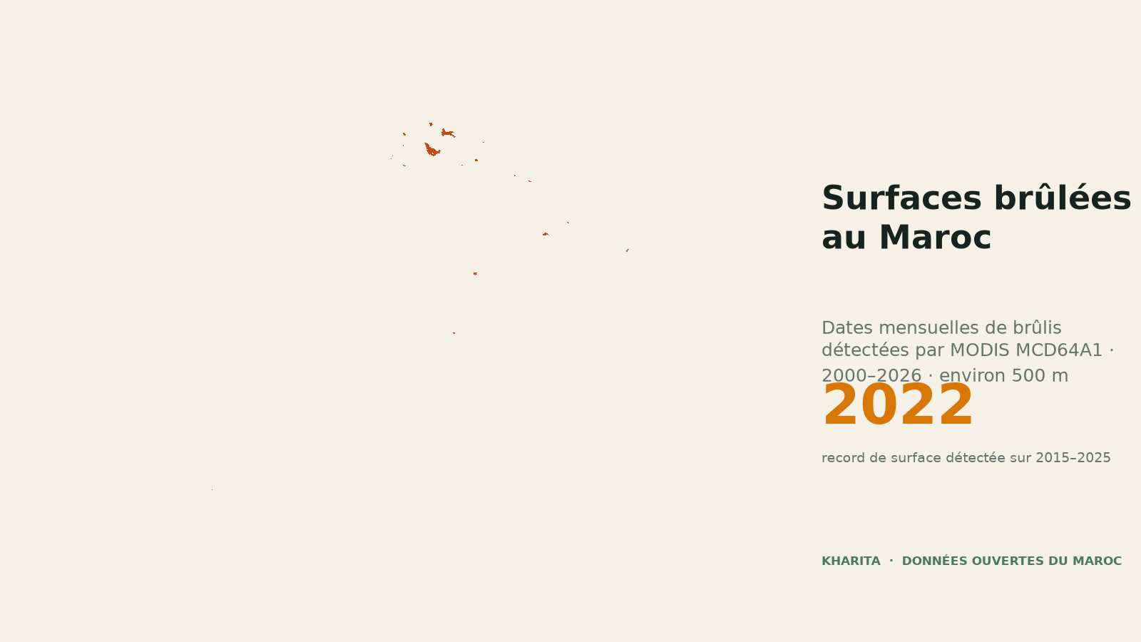
Date de brûlage mensuelle à 500 m au Maroc, de novembre 2000 aux derniers mois 2026 disponibles, issue du produit NASA MODIS MCD64A1 v6.1.
 Données ouvertesNouveau
2 octobre 2026 · 7 min · Français
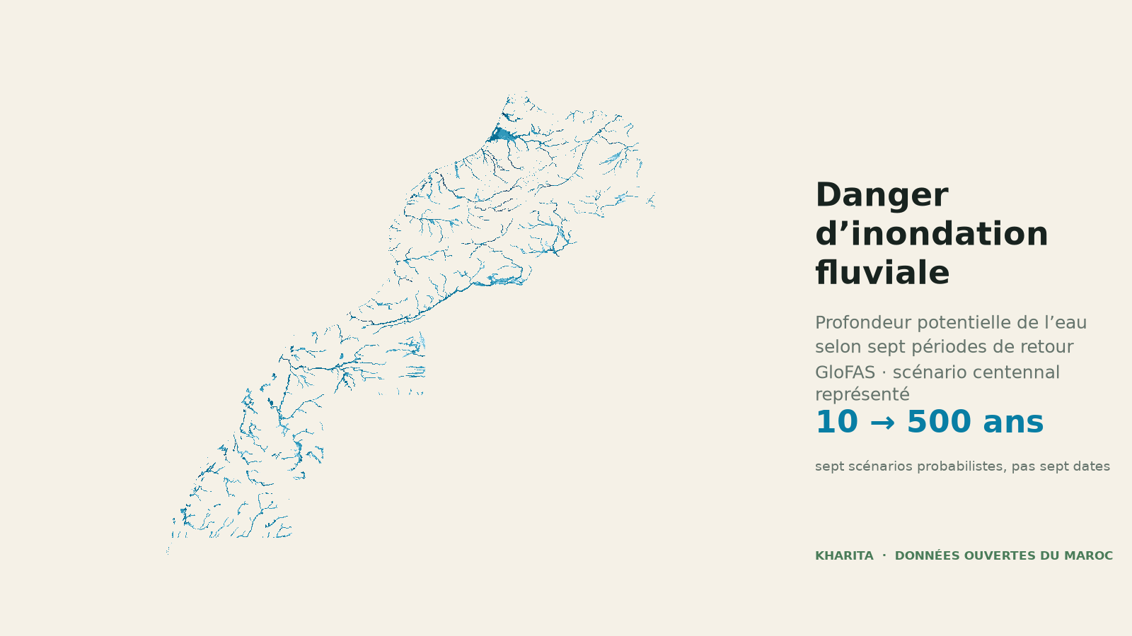
Sept scénarios de profondeur d’inondation fluviale à environ 90 m permettent de repérer les secteurs exposés au Maroc, sans confondre aléa, risque et prévision.
GeoInsights
Dernier récitÉconomie
303 concours, 27 fiches de poste, 909 offres LinkedIn et trente-sept ans d'images satellite
Lire le récit15 scènes ·
Infrastructures
· 11 scènes
Risques
· 10 scènes
Monde
· 15 scènes
Hydrologie du MarocNationalNouveau
Indicateurs physiques de risque hydrique d’Aqueduct 4.0 pour l’ensemble du Maroc, calculés sur la période de référence 1979–2019. La couche présente notamment le stress hydrique de base, l’épuisement de l’eau, la variabilité interannuelle et saisonnière, le déclin des nappes, les risques de crue fluviale et côtière, le risque de sécheresse et l’accès à l’eau potable. Les scores et classes servent à comparer les territoires à l’échelle nationale ; ils ne remplacent pas une étude locale. Couverture nationale continue, régions du Sud incluses.
CSVGeoJSONGeoPackageKMLShapefile
0 téléch.9 octobre 2026
Population et démographieNationalNouveau
Population légale des 1 503 communes du Maroc selon les recensements officiels RGPH 2014 et RGPH 2024 du Haut-Commissariat au Plan. Chaque polygone contient la population et les ménages en 2014 et 2024, le nombre de Marocains et d’étrangers, l’évolution absolue et relative sur dix ans, la taille moyenne des ménages en 2024 et les rattachements provincial et régional. Le total 2024 est de 36 828 330 habitants au 1er septembre 2024. La couverture est nationale et continue, régions du Sud incluses.
CSVGeoJSONGeoPackageKMLShapefile
2 téléch.9 octobre 2026
Gouvernance et électionsNationalNouveau
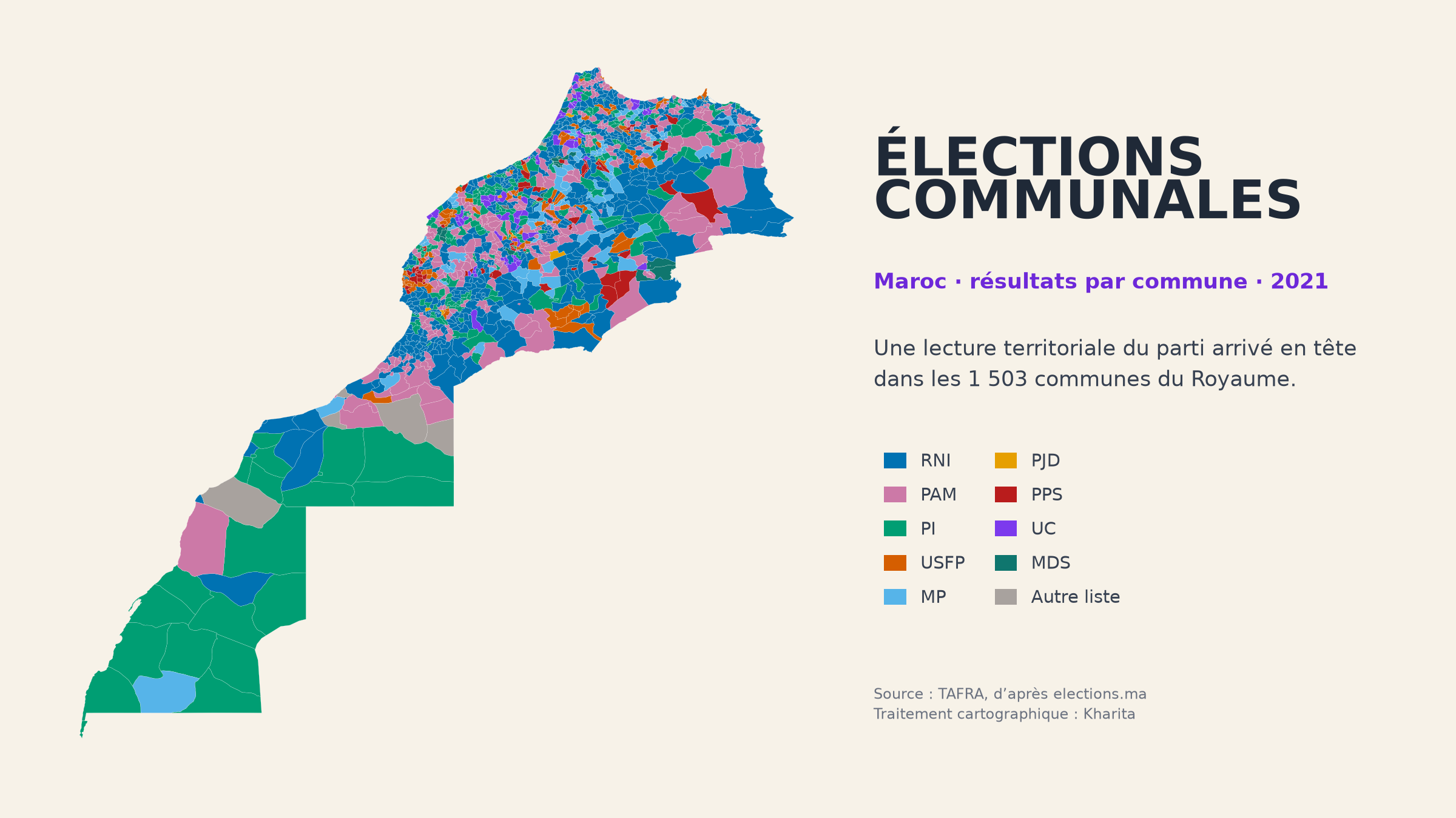
Résultats des élections communales marocaines de 2015 et 2021 à l’échelle des 1 503 communes. La couche temporelle contient 3 006 entités et renseigne les voix obtenues par parti, le parti arrivé en tête, le total des voix comptabilisées dans les colonnes partisanes, le taux de participation et le nombre de sièges du conseil lorsque ces valeurs sont directement disponibles. Pour 2021, elle comprend aussi des indicateurs sur le sexe, l’âge et le niveau d’études des élus. Les données ont été collectées par TAFRA à partir du portail officiel elections.ma. Dans les six villes divisées en arrondissements — Casablanca, Fès, Marrakech, Rabat, Salé et Tanger — les voix des 41 arrondissements sont additionnées sur le polygone communal ; le taux de participation, le nombre de sièges et le profil des élus y restent vides car ils ne peuvent pas être recalculés de façon fiable à partir des lignes sources. La source ne fournit pas le nombre d’inscrits ni le taux de bulletins blancs ou nuls. La couverture inclut l’ensemble du territoire national, provinces du Sud comprises.
CSVGeoJSONGeoPackageKMLShapefile
0 téléch.6 octobre 2026
Gouvernance et électionsNationalNouveau
Résultats officiels des élections législatives marocaines de 2016, 2021 et 2026 agrégés sur les 75 provinces et préfectures du découpage administratif actuel. Les 225 entités décrivent, pour chaque scrutin, les 305 sièges attribués dans les circonscriptions locales, avec le nombre de sièges par parti et les égalités éventuelles. Les sièges des anciennes circonscriptions nationales de 2016 et des circonscriptions régionales de 2021 et 2026 ne sont pas attribués aux provinces. Les huit préfectures d’arrondissements électorales de Casablanca sont agrégées dans le polygone provincial de Casablanca.
CSVGeoJSONGeoPackageKMLShapefile
1 téléch.5 octobre 2026